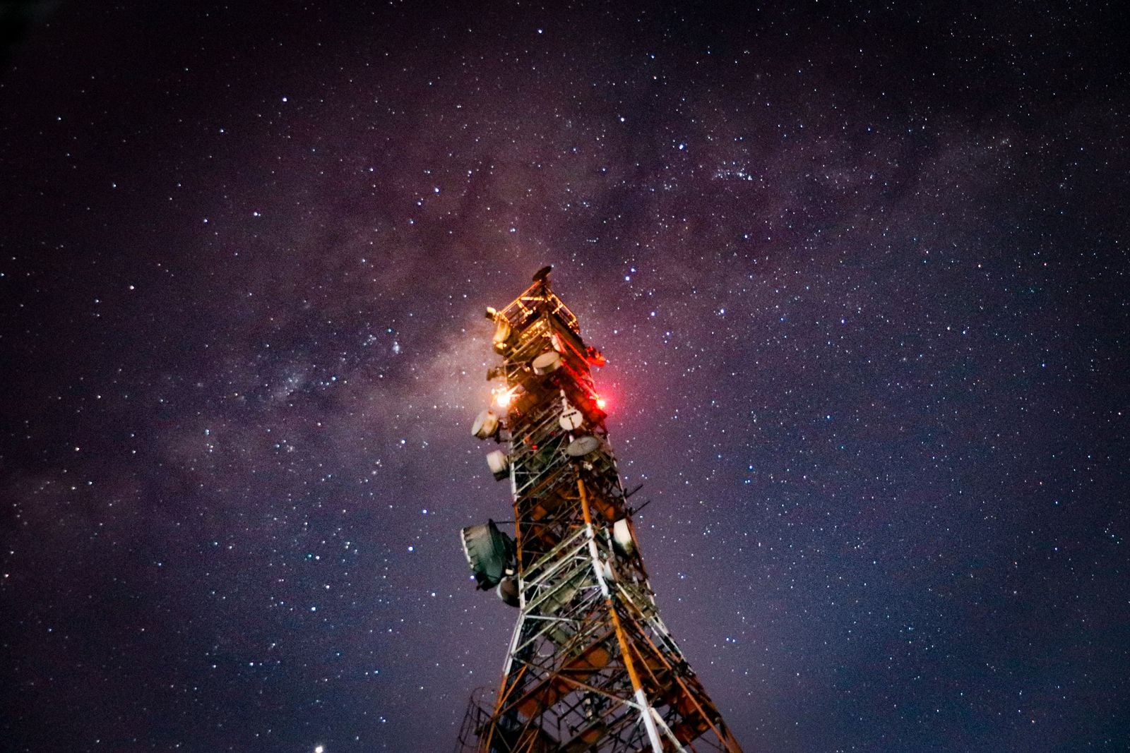
If global navigation satellite systems (GNSS) stopped working, life would get confusing pretty quickly, since we use them for everything from driving directions to keeping computer clocks updated. Even a 13-microsecond satellite clock error in 2016 ended up causing a lot of headaches until it was fixed.
Thus, it’s probably a good thing that GPS isn’t the only satellite navigation system in existence – Russia, the EU, and China all have their own satellite constellations, and there are even smaller regional systems that help make coverage of certain areas more precise. In fact, your phone is probably counting on two or three different satellite constellations for its location even now!
It’s not just knowing about which side of the street you’re on, either: machines will need good location data in the future if they’re going to navigate a human-sized world, and having multiple GNSS systems to ensure consistent availability and better accuracy is important. When one of them gets an upgrade, the whole world might actually benefit. So who are the stars of the show here?
Also read: Android GPS Not Working? 9 Fixes to Try
GPS – Global Positioning System (United States)

GPS is the most widely used system in the world, having been operational since 1978 and commercially available since 1994. It’s well-maintained, reliable, and provides data that’s typically accurate to within about five meters when using just one of the GPS bands, which most devices did in the past. There are technically two bands available, though, and as of 2018, some phones have GPS chips that can pick up both of them, increasing accuracy to a margin of error as low as thirty centimeters.
GLONASS – Globalnaya Navigatsionnaya Sputnikovaya Sistema (Russia)

The Soviet Union won the space race, but America won the GNSS race, whatever that counts for. GLONASS, Russia’s answer to GPS, didn’t start going up until 1982. It’s less accurate than in the more central latitudes (about three to eight meters) but has better coverage at the northern and far southern latitudes, as Russia built it for, you know, Russia. As the second-oldest system, it’s also the second-most common, and many phones and other devices use it alongside GPS.
Galileo (European Union)

In the early 2000s the EU decided to launch its own GNSS satellite constellation in order to reduce dependence on the US and Russia, in the event that something happened to one or both of those services. Thus, Galileo was born, and it’s set for full operation by 2020. It provides accuracy down to one meter for regular users and down to one centimeter for paying commercial users. Many phones and other devices have also started using this system, some with dual-band receivers that can get up to thirty centimeters of precision.
BeiDou (China)

At this point, you can’t really call yourself a major world power without your own GNSS system, so naturally, China has gotten into the game with their own BeiDou constellation, consisting of thirty-five satellites that should provide accuracy of around one meter for regular people and even less for specialized users. As many phones are made in China, support for the system has taken off quickly, and many manufacturers have started using BeiDou alongside the other three systems.
Also read: Stop Sensorvault from Providing Your Location to the Police
Regional systems
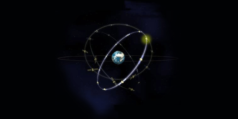
All of the major satellite systems have worldwide coverage since their satellites orbit the whole globe. They don’t always provide the most precise positioning data, though, which is why it’s becoming popular for countries to launch extra satellites that are positioned especially to provide better data in certain areas. So far, we have:

- QZSS (Japan): This system ensures that there are always satellites above Japan, which is primarily useful because of tall buildings blocking signals that come from shallow angles. It also serves other countries that fall under its orbital paths.

- NavIC/IRNSS (India): This is India’s regional satellite project, consisting of several satellites on orbital paths that take them around India and the surrounding areas. They only provide accuracy to within 10 meters for civilians but can get down to 0.1 meter for India’s military and other users.
How do I find out which systems I’m using?
At this point, you might be curious to know what’s going on inside your GNSS chip! Luckily, there are apps to help you.

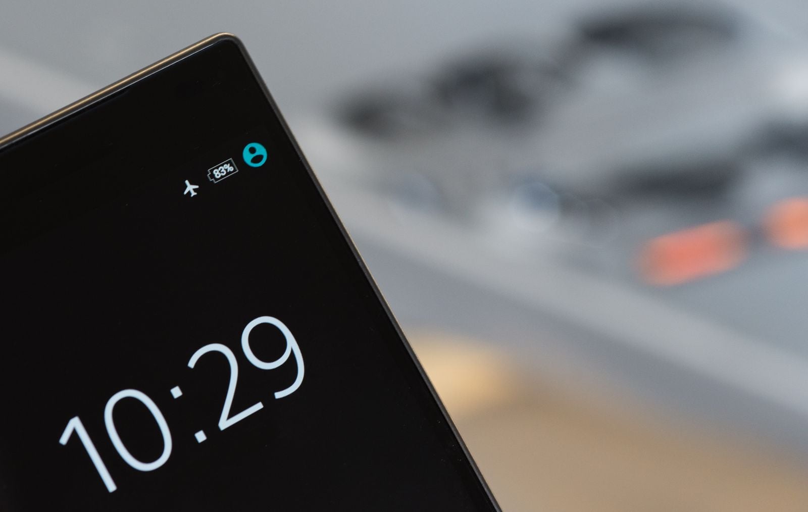
The go-to GNSS-testing app is GPSTest (Android). It may look like a lot of data, but the flags on the left side will tell you if you’re picking up American, European, Russian, or Chinese signals, as well as which smaller regional systems are around. If there’s a “U” in the “Flags” column, that means that this satellite is being used by your phone to calculate its position. Sorry, iPhone users – Apple obfuscates satellite data, so there’s no app for you.

A good complement to GPSTest is GNSSView (Android/iPhone). It won’t actually tell you which satellites your phone is using, but it’s great if you’re interested in knowing the total number of visible GPS satellites in your section of sky to get an idea of what your phone can and can’t use. My phone, for example, can pick up GPS, Galileo, GLONASS, QZSS, and NavIC, but BeiDou isn’t popping up at all, despite several satellites being visible from my area.
So when do I get centimeter-level accuracy?
You’ve probably noticed that a lot of these systems say they’re capable of pinpointing locations to within a few centimeters, so why are you stuck with five-meter GPS? There are actually a few reasons:
- Historically, the equipment needed to get high-precision data has been difficult to get into phones. This is changing, however, and the growing number of satellite constellations and new GNSS chips are improving quite a bit.
- A lot of countries are saving the most precise location data for governments, militaries, or paying customers. One-centimeter accuracy is available, but not to the public.
However, with the rapidly growing number of navigation satellites in the sky and recent innovations in GNSS chip technology, your phone location is only going to get more accurate in the coming years.